In a nutshell
- The drive climbs out of Seyðisfjörður on the mountain pass road, Fjarðarheiði, which links the town with Egilsstaðir via Road 93.[1]
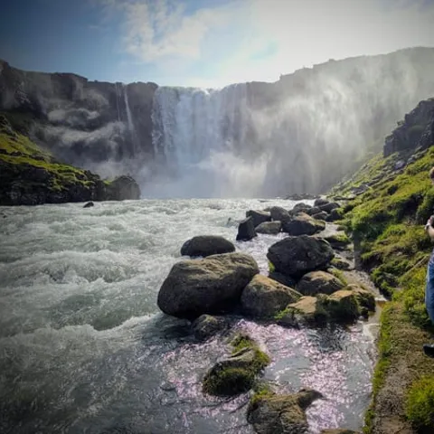
- Gufufoss stands approximately 88 feet (27 meters) tall, and the walk from the car park is no more than 150 meters long and takes a minute or two.[2][3]
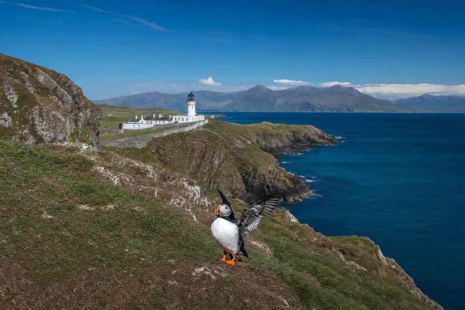
- Puffins nest at Hafnarhólmi in Borgarfjörður Eystri every year from the middle of April to the beginning of August.[4]
- The Puffin & Gufufoss Waterfall Tour from Seydisfjordur Port runs 5 hours with a live English guide, and stops at Hafnarholmi, Lindarbakki and Gufu Waterfall.[5]
- In July, a summer month in Seydisfjordur, average daily temperatures range from a high of 51°F (11°C) to a low of 43°F (6°C).[6]
- Top choice Puffin & Gufufoss Tour from US$229 Duration5 hours[5]GuideLive tour guide, English[5]Rating4.63 from 270 reviews[5]CancellationFree up to 24 hours ahead[5] Check availability
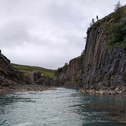
- Studlagil Canyon Shore from US$229 Duration5 hours[7]GuideLive tour guide, English[7]Rating4.46 from 336 reviews[7]CancellationFree up to 24 hours ahead[7] See this tour
- Stuðlagil & Reindeer Tour from US$228 Duration6 hours[8]GuideLive tour guide, German, English[8]Rating4.86 from 7 reviews[8]CancellationFree up to 24 hours ahead[8] See this tour
The average temperature in Seydisfjordur in July for a typical day ranges from a high of 51°F (11°C) to a low of 43°F (6°C).
Ride the pass, then meet the puffins
Know before you go
The Journey Begins: Seyðisfjörður to the Pass
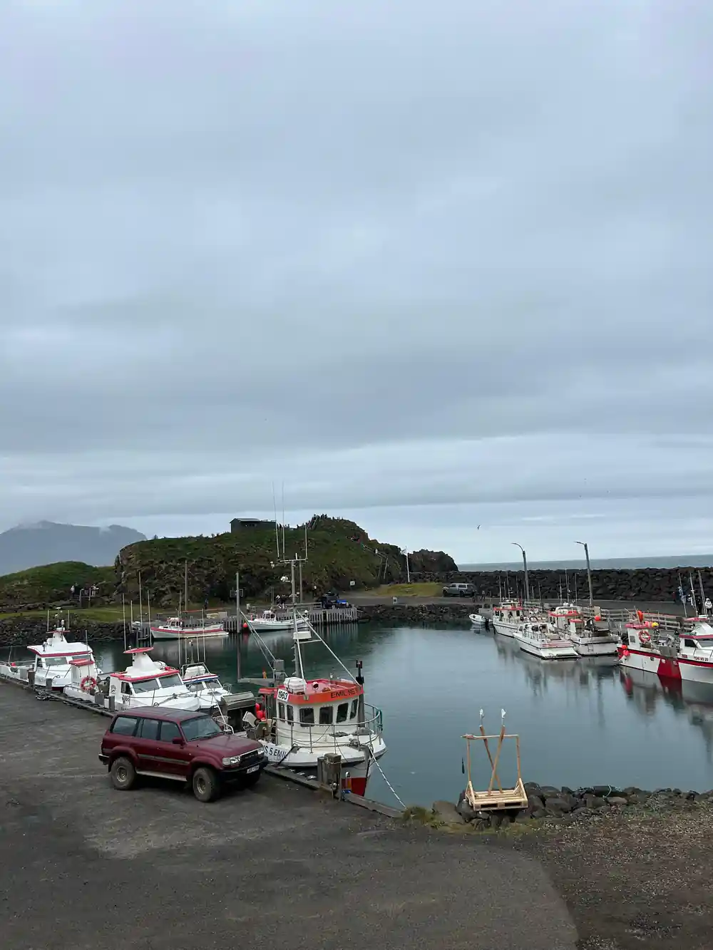
Most journeys into Seyðisfjörður end with the same view: a narrow fjord, steep walls on both sides, and a small town of wooden houses gathered at the head of the water. Arriving by sea is part of the appeal for many travellers, since the Norrona ferry, run by Smyril Line, is the ferry that docks in the small town of Seydisfjordur.[9] Arriving by road is a different pleasure, because you come over the pass and the whole town appears below you in one piece.
The town is small enough to walk in an easy hour, and the street most people photograph is Rainbow Street, lined with the old historic houses the town is known for. It ends at the picturesque church usually called Bláa kirkjan, the Blue Church.[10] Both are a short stroll from where the coaches stop, so they are easy to fold into a shore day before or after a tour, and the path along the water gives you the fjord from a different angle.
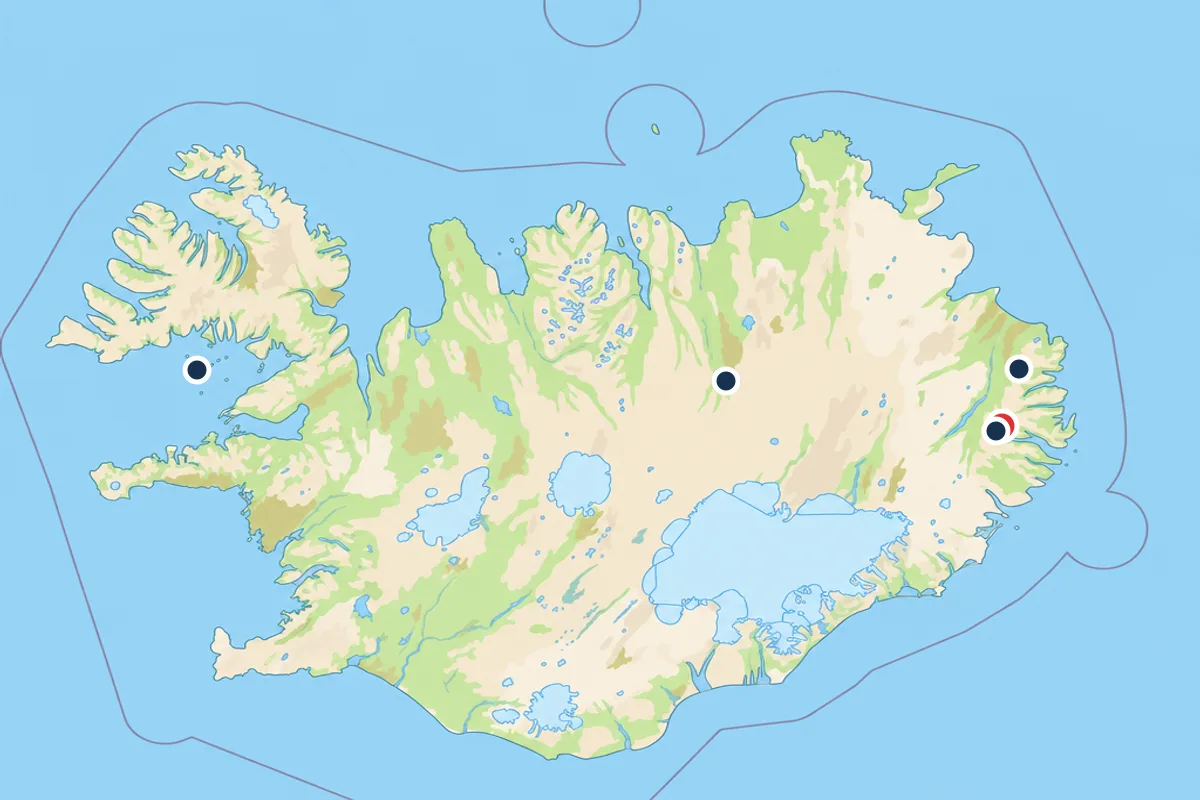
When people look for a Seydisfjordur Iceland map, the question underneath is usually how the town connects to the rest of the east. The answer is Road 93, the mountain pass road that climbs over Fjarðarheiði to Egilsstaðir.[1] Almost everything you do from the port, whether that is the puffin cliffs, the canyon country or the waterfalls, starts on that road or out on the fjord itself, so it is worth understanding its shape before you travel.
Climbing Fjarðarheiði: The Mountain Pass
Fjarðarheiði is the mountain pass road in East Iceland that connects Egilsstaðir and Seyðisfjörður via Road 93.[1] From the town side the climb starts almost as soon as you leave the last houses, the road switching back and forth up a slope of loose stone and thin grass while the fjord shrinks below. Coaches take the bends slowly, which is a gift, because it means you see the view twice, once on the way up and once on the way back.
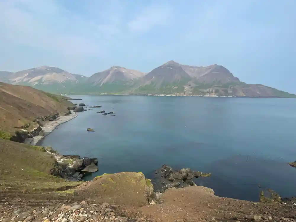
Higher up, the land opens out. The fjord drops away behind you, small lakes sit in the hollows below the road, and the far side of the valley shows its full length for the first time. Weather here does its own thing: wind funnels through the notch, low cloud can sit on the pass while the town below is bright, and the surface can be wet when the coast is dry. That contrast is normal rather than a warning sign.
Treat the crossing as part of the day instead of a way of getting somewhere. A local driver knows where the road widens and where the light falls at a given hour, and the best views often come in the few minutes after you clear the last buildings and the fjord spreads out beneath you. Keep a camera within reach, and let the seat belt do the rest.
Waterfalls thread the slopes above the fjord road, and the light in the east changes fast.
Dyrfjöll's Rhyolite Peaks: Geology in Color
The peaks that stand over the pass, the Dyrfjöll range, are built of rhyolite, a silica-rich volcanic rock that weathers into pale creams, ochres and rusty reds rather than the flat grey of a lava field. It is the same family of rock that gives Iceland its brightest highland colours, and in the east it turns up in mountains most visitors have never heard of.
Basalt, the dark rock that makes up much of the island, breaks into columns and black sand. Rhyolite crumbles into bright scree and paints whole mountainsides. From the road you can often read the change in bands: green grass at the bottom, bare rock in shades of yellow, pink and rust above it, then sky. Later in the day, low sun across those slopes makes the colours louder still.
You do not need the geology to enjoy it, but the word helps you read the landscape. Watch how the colour shifts with the light, which in the east can move from flat silver to long gold in a single afternoon, and notice how the scree fans below the peaks feed the slopes the road runs past. With children in the car, this is the stretch where pointing out of the window pays off.
Njarðvíkurskriður: The Legend of the Scree Slope
Not every landmark on this road is a peak. Njarðvíkurskriður is a long slope of loose scree spilling toward the water, a place where frost and rain have been breaking rock off the hillside for a very long time and gravity has carried the pieces down. From the road it looks like a wide grey apron hanging between mountain and fjord, and on a windy day you can hear small stones moving.
Slopes like this collect stories. In a country where the landscape is read closely, a wide grey hillside beside a narrow road is exactly the kind of place that gathers tales, and travellers on the old route were in no hurry to linger there. Whether or not you give any of it credit, the spot has a feeling of its own: quiet, loose and slightly unsettled, with the fjord glinting far below.
For a driver, the practical point matters more than the folklore. Loose stone means no stopping on the slope itself, so wait for a proper pull-off before you reach for the camera. After heavy rain, treat the surface with care, especially where water crosses the road and where the shoulder has been patched.
from US$229
The 5-hour Puffin & Gufufoss tour from Seydisfjordur Port has a live English guide and free cancellation up to 24 hours ahead.[5]
Waterfalls on Every Hillside
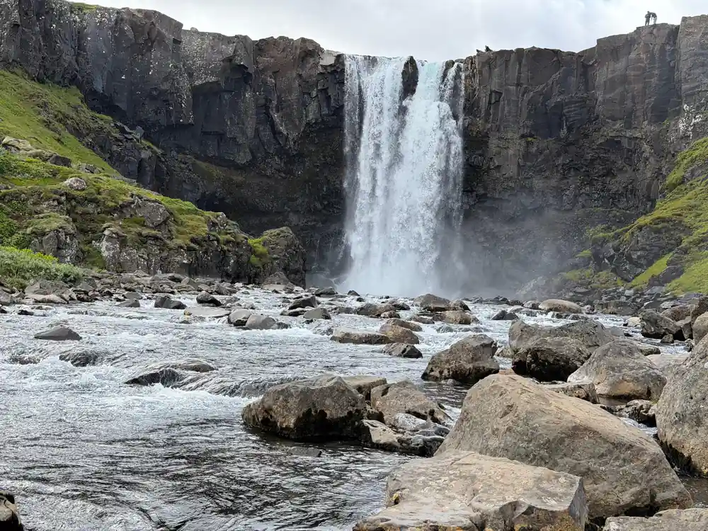
Gufufoss is the waterfall most people on this road actually stop for. It stands approximately 88 feet (27 meters) tall, one of the falls along the Fjarðará River.[2] In a country of famous waterfalls it is not a giant, but it sits close to the road, is easy to reach, and turns loud and white when the river is high.
The stop could hardly be simpler. The walk from the car park to the waterfall is no more than 150 meters long, completely flat, and takes a minute or two.[3] That makes it workable on a tight shore day and friendly to anyone who would rather not scramble over wet rock. Wear shoes with grip anyway, and keep an eye on children near the water.
Beyond Gufufoss, water is everywhere in the east. Thin white threads run down cliff faces, louder falls appear where a river crosses a band of harder rock, and roadside cascades show up after rain and vanish in a dry spell. On the drive, look across the fjord as well as ahead, because the far wall often carries more falling water than the near one.
Puffins, Turf Houses and the Road North
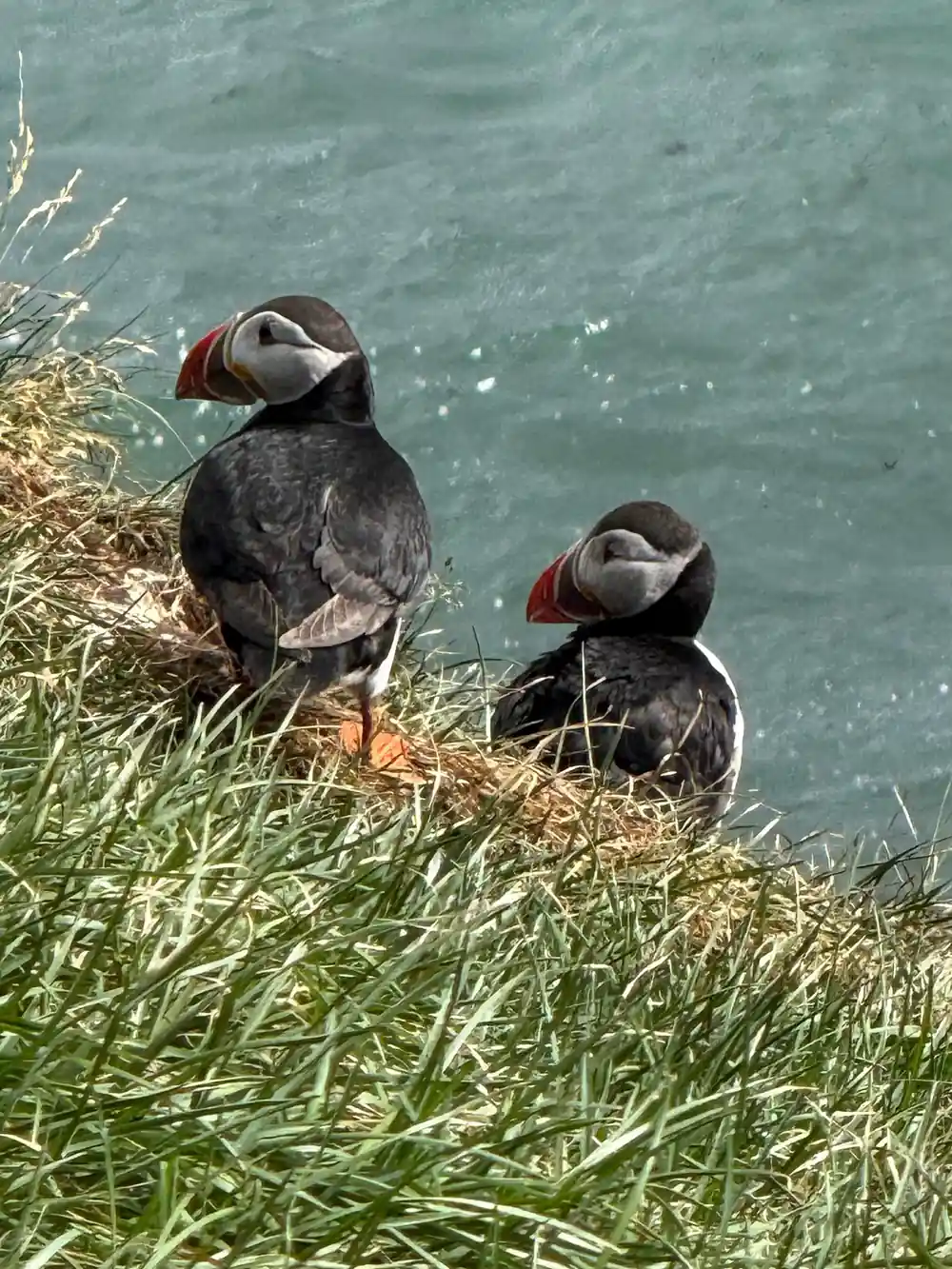
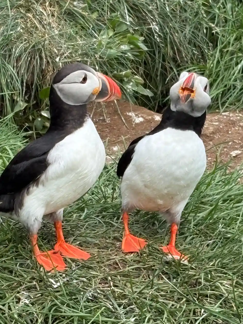
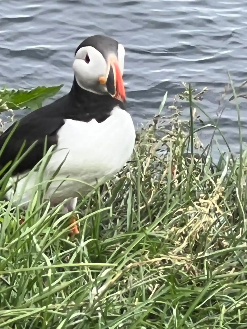
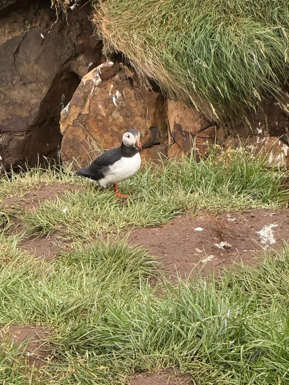
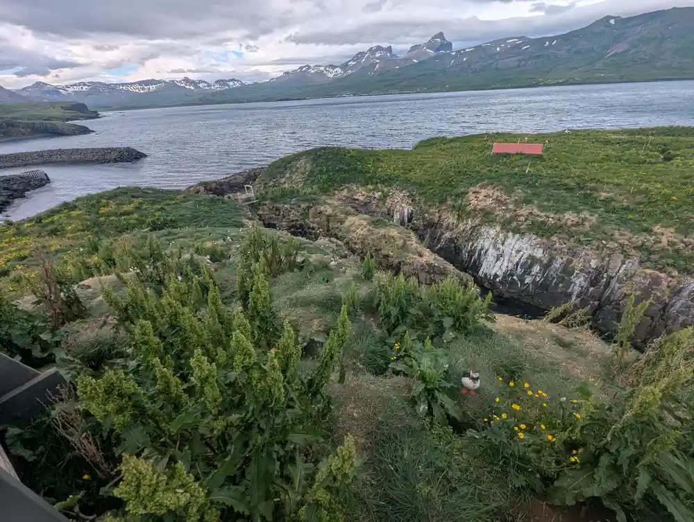
The road that leads to the puffins runs north from the pass country toward Borgarfjörður Eystri. Puffins nest at Hafnarhólmi there every year from the middle of April to the beginning of August.[4] Outside that window the cliffs are still worth the drive, but the birds are out at sea and the colony is quiet.
Hafnarhólmi is a small harbour rock with paths and railings, so you watch from a short distance rather than from a boat. Puffins are tiny, fast and slightly comic in the air: they flap hard, land awkwardly and then stand about in pairs on the grass as if nothing had happened. Bring a longer lens if you have one, and give the burrows room.
On the way, the Puffin & Gufufoss Waterfall Tour from Seydisfjordur Port also stops at Lindarbakki, a colorful turf house in the village of Bakkagerði.[5][11] Turf was the old Icelandic answer to a cold, treeless country: thick walls of earth and grass that hold warmth and blend into the hillside. Seeing one in a working village, with mountains behind and the sea close by, is a stop worth having.
Reading the Road: What to Watch from Your Seat
From your seat, the east reads in layers. First the fjord, then the pass, then the wide valley and lake country around Egilsstaðir, then the side roads running north toward the puffin cliffs. Once you can name those pieces, a map of the region stops being a puzzle and starts being a plan.
Pack for the temperature rather than the calendar. In July, a summer month in Seydisfjordur, average daily temperatures range from a high of 51°F (11°C) to a low of 43°F (6°C).[6] A warm midlayer, a windproof outer layer and shoes that cope with wet grass will do more for your day than any single piece of camera gear.
The tour from the port runs 5 hours, with a live tour guide in English and stops at Hafnarholmi, Lindarbakki and Gufu Waterfall, and it can be reserved now and paid for later, with free cancellation up to 24 hours in advance.[5] Check availability to see starting times, and leave room in the day for the town itself.
How long east Iceland tours from the port run
From-prices for tours leaving Seydisfjordur
US dollar from-prices per person as listed.[5][7][8][12]
When to drive the pass and see the puffins
Plan the drive
Find the pass
Road 93 climbs from Seyðisfjörður over Fjarðarheiði to Egilsstaðir, so the pass is the spine of any day out from the port.[1]
Time the puffins
Nesting at Hafnarhólmi runs from the middle of April to the beginning of August, which is the window for the colony.[4]
Book the tour
The puffin and Gufufoss tour runs 5 hours from the port, with free cancellation up to 24 hours in advance.[5]
Pack for two seasons
In July, daily temperatures range from a high of 51°F (11°C) to a low of 43°F (6°C), so bring a warm layer and a windproof shell.[6]
Plan the waterfall stop
The flat walk from the Gufufoss car park is no more than 150 meters and takes a minute or two, so it fits a shore day.[3]
Ride the pass road to the puffin cliffs
from US$230Reserve now & pay later