In a nutshell
- Gufufoss stands approximately 88 feet (27 meters) tall, an easy stop on the valley road.[1]
- The walk from the car park to the waterfall is no more than 150 meters long, takes a minute or two and is completely flat.[2]
- Puffins nest at Hafnarhólmi in Borgarfjörður Eystri from the middle of April to the beginning of August.[3]
- The Puffin & Gufufoss Waterfall Tour from Seydisfjordur Port runs 5 hours with a live English guide, from US$229.[4]
- Rainbow Street, lined with old historic houses, ends at the church known as Bláa kirkjan, or the Blue Church.[5]
- Top choice Puffin & Gufufoss Tour from US$229 Duration5 hours[4]Rating4.63 from 270 reviews[4]GuideLive tour guide: English[4]CancellationFree cancellation up to 24 hours[4] Check availability
- Vök Baths Entry from US$61 Duration1.5 hours[6]Rating4.69 from 386 reviews[6]GuideHost or greeter: English, Icelandic[6]CancellationFree cancellation up to 24 hours[6] See this tour
- Studlagil Canyon Tour from US$229 Duration5 hours[7]Rating4.46 from 336 reviews[7]GuideLive tour guide: English[7]CancellationFree cancellation up to 24 hours[7] See this tour
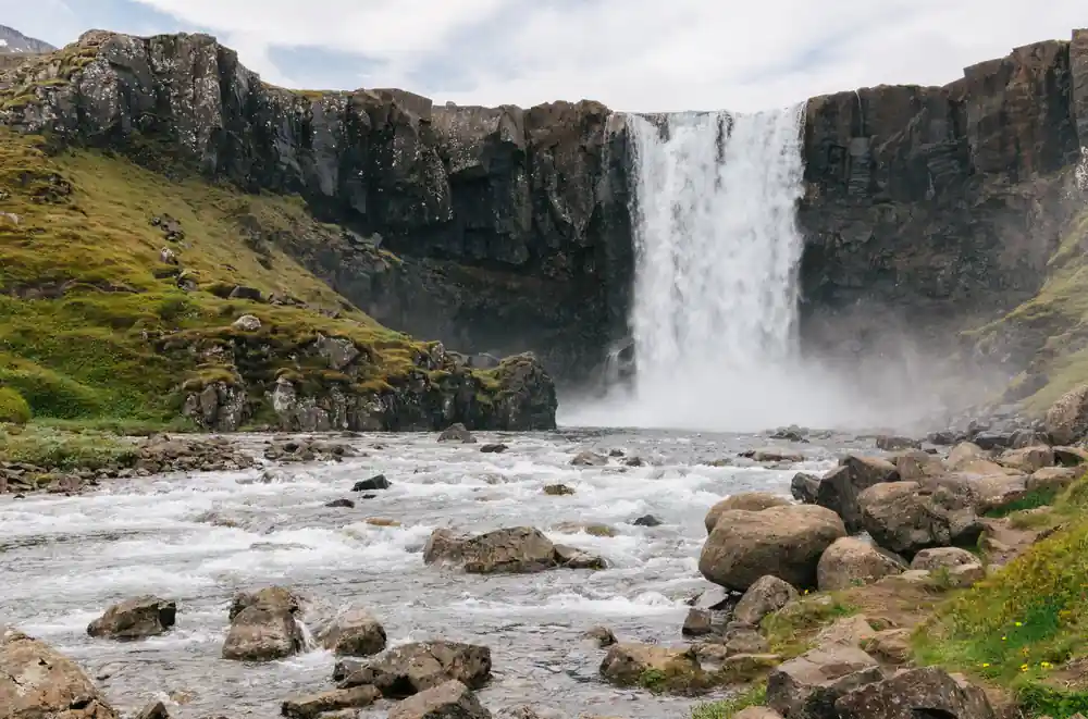
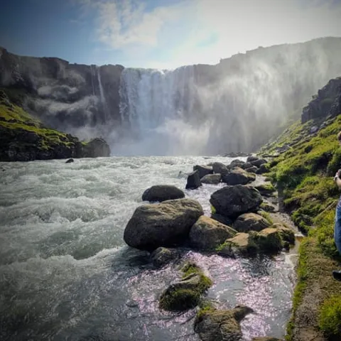
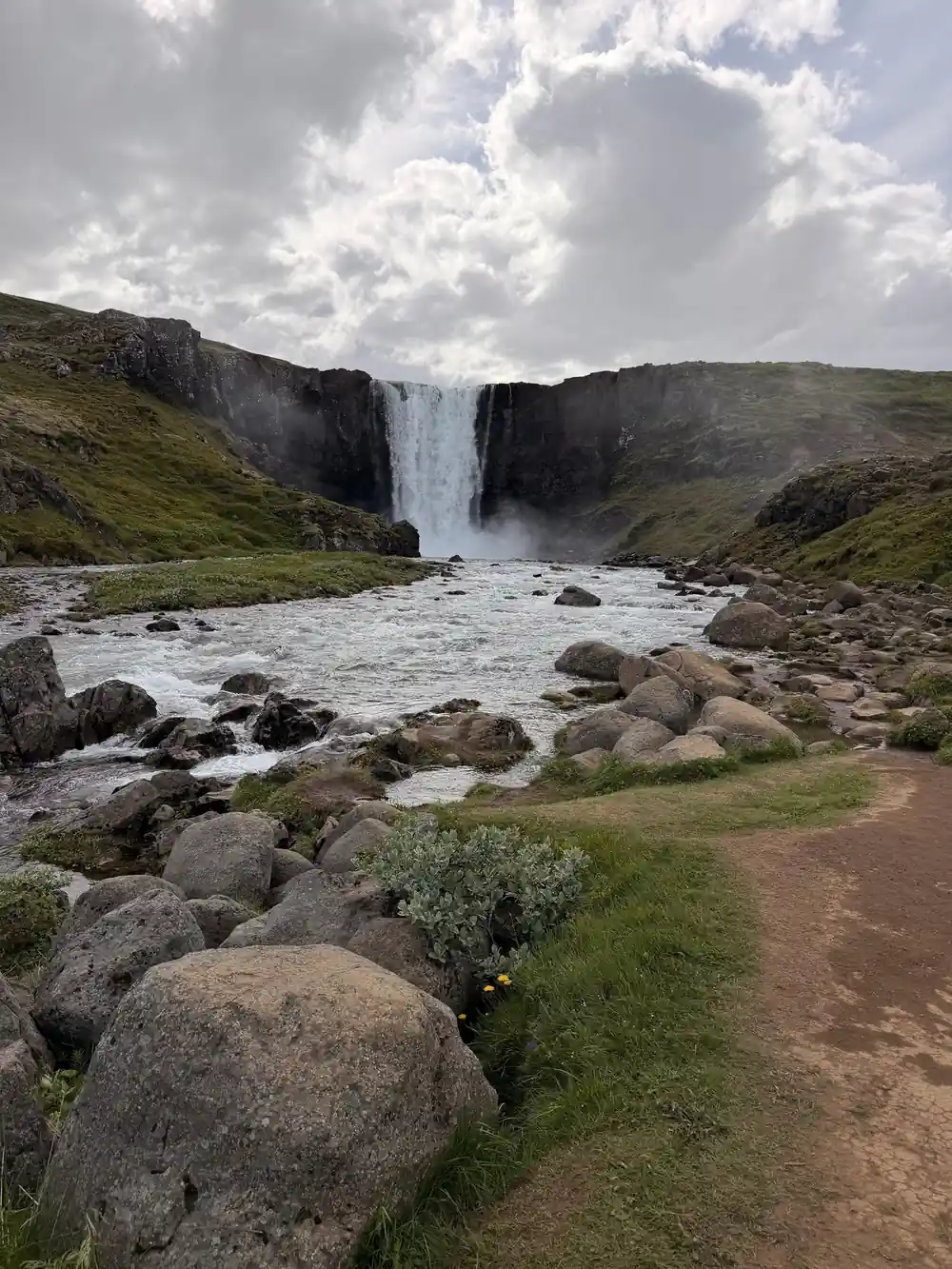
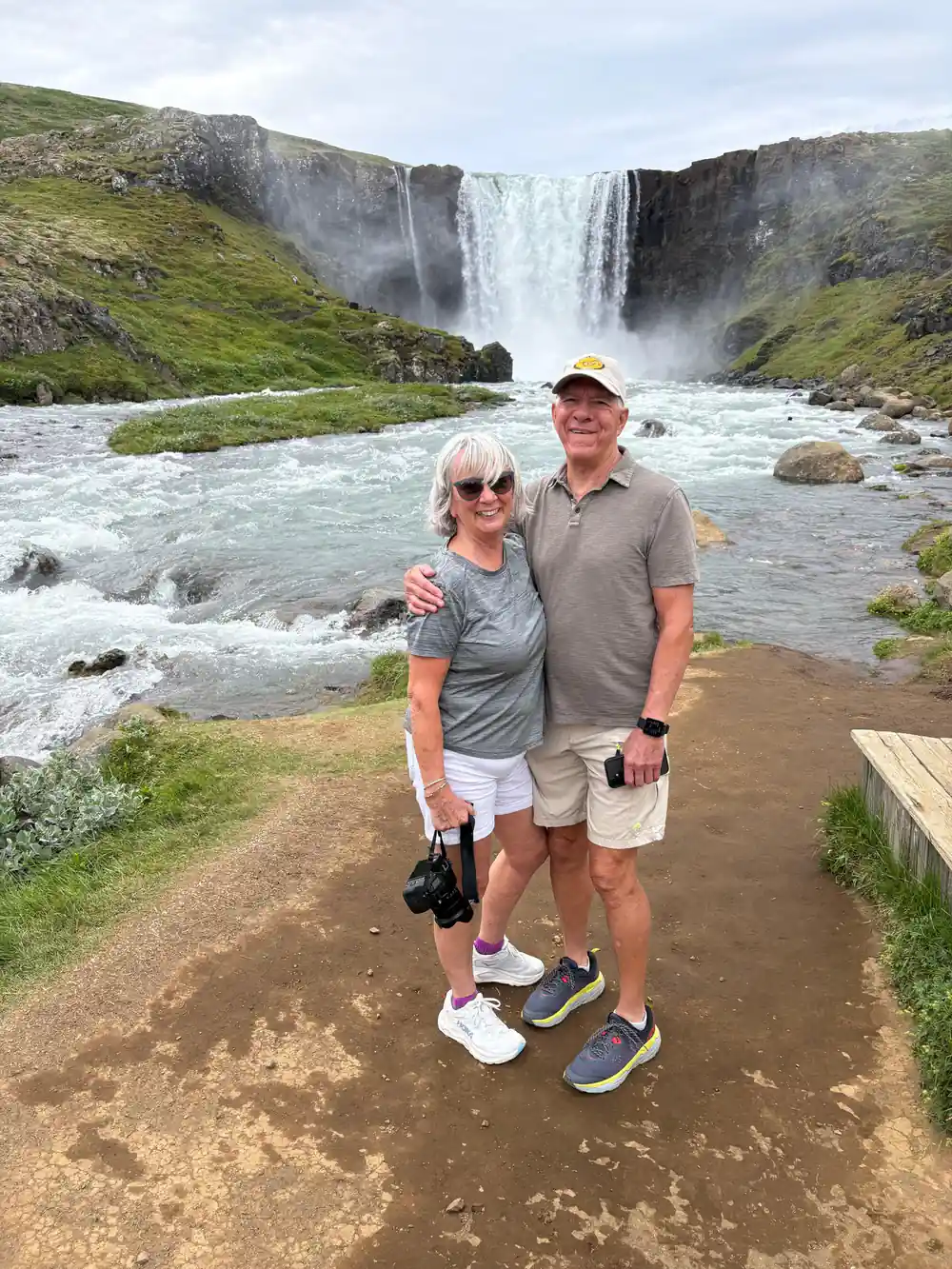
Standing at approximately 88 feet (27 meters) tall, Gufufoss is one of the striking waterfalls along the Fjarðará River , a waterway known for its excellent fishing spots.
Is the Puffin & Gufufoss tour worth your port day?
Worth knowing first
- Reserve your place early, port days sell out when ships are in
- Book through the tour page and keep the confirmation on your phone
- Check the start time against your ship's all-aboard hour
- Free cancellation up to 24 hours in advance for a full refund[4]
On the day
- The loop runs by coach between the port, the cliffs and the valley
- Bring sunglasses and a rain shell, the weather turns quickly here
- Expect cool air off the sea even in the middle of summer
- The path from the car park to Gufufoss is flat and short
Seydisfjordur and its waterfall valley
Seydisfjordur sits at the head of a narrow arm of the sea in East Iceland, a small town of painted wooden houses stacked on a slope above the water. Above the roofs, the valley of the Fjardara river climbs towards the high ground, and the river drops over a series of falls on its way down to the sea. Whether you come down the mountain pass by road or sail in through the fjord, the last stretch into the valley is a descent into a bowl of dark rock and bright green.
The centre is small, and walking it takes only a few minutes. Rainbow Street, a popular spot for selfies lined with old historic houses, ends at the town's picturesque church commonly called Bláa kirkjan, or the Blue Church.[5] From the far end of the street the Seydisfjordur fjord opens out, with the far shore rising in tiers and thin white lines of water on the slopes after rain. This is a town that rewards a slow hour on foot before or after a tour.
Glaciers carve the fjord
Fjords like this one are the work of ice. A glacier grinding down an older river valley deepens it, steepens its sides and leaves a floor that sits below sea level, so that when the ice retreats the sea moves in and the valley becomes an arm of water. The same process leaves hanging valleys: side streams that once joined the main river high above now end at a lip and fall to the fjord instead, which is why waterfall after waterfall drops down the valley walls here.
That is the shape of the land above Seydisfjordur. The main valley carries the Fjardara, and its tributaries come in from the sides over hard ledges of rock. The result is a staircase of falls, some of them a thin thread in dry weather and a wide curtain after snowmelt or heavy rain. Gufufoss is the one most people photograph, but it is part of a larger pattern rather than a single accident of geography.
Spray rising from the Fjardara valley above the town
Layers of basalt like a cake
Iceland is built from lava, and lava comes in flows. Erupt a flow, let it cool, bury it, erupt another on top, and you get the horizontal banding you see on cliff faces all over the country: dark bands, lighter bands, rubbly seams between them. Where a flow cooled slowly and shrank, it cracked into columns, which is why so many Icelandic canyons look as if they were built by hand from tall dark pencils. Studlagil Canyon is a basalt rock formation located in Jokuldalur Valley in East Iceland.[8]
Around Seydisfjordur the walls are more mixed and more vegetated, with grassy ledges and moss softening the rock, so the columnar structure is easier to read in small outcrops than in one grand cliff. Look at the sides of the road as you climb out of town, and at the cut banks beside the river. Once you have the pattern in your eye, the whole valley starts to make sense: hard bands make the ledges, soft bands make the slopes, and the falls drop where a hard band ends.
Milky water at the drop
Gufufoss stands approximately 88 feet (27 meters) tall.[1] It is not a giant, and that is part of its charm: you can take in the whole fall in one look, watch the water hit the plunge pool, and feel the cold draught of moving air on your face. Getting there is easy. The walk from the car park to the waterfall is no more than 150 meters long, takes a minute or two and is completely flat.[2]
Milky, grey-green water usually means rock flour: fine sediment ground off the bedrock upstream and held in suspension, which scatters light and gives the river its cloudy colour. Where the water drops, that sediment churns with air and turns the fall white at the lip and brown-flecked at the base. In dry spells the flow thins and the water clears. After rain or a warm spell on the high ground, the river comes up and the sound of the falls carries right across the valley.
from US$229
Five hours from Seydisfjordur port with a live English-speaking guide, puffins at Hafnarholmi and the walk to Gufufoss.[4]
Fish and folklore at the falls
Icelandic folklore gives rivers and rocks a life of their own. Hidden people are said to live in boulders and hillsides, trolls are said to have been caught out at dawn and turned to stone, and waterfalls appear in stories as places where the ordinary world thins. You do not have to believe any of it to enjoy the habit of standing at the falls and wondering what earlier generations made of the same noise and spray. Local guides tell these stories well, and there is usually room for a tale between stops.
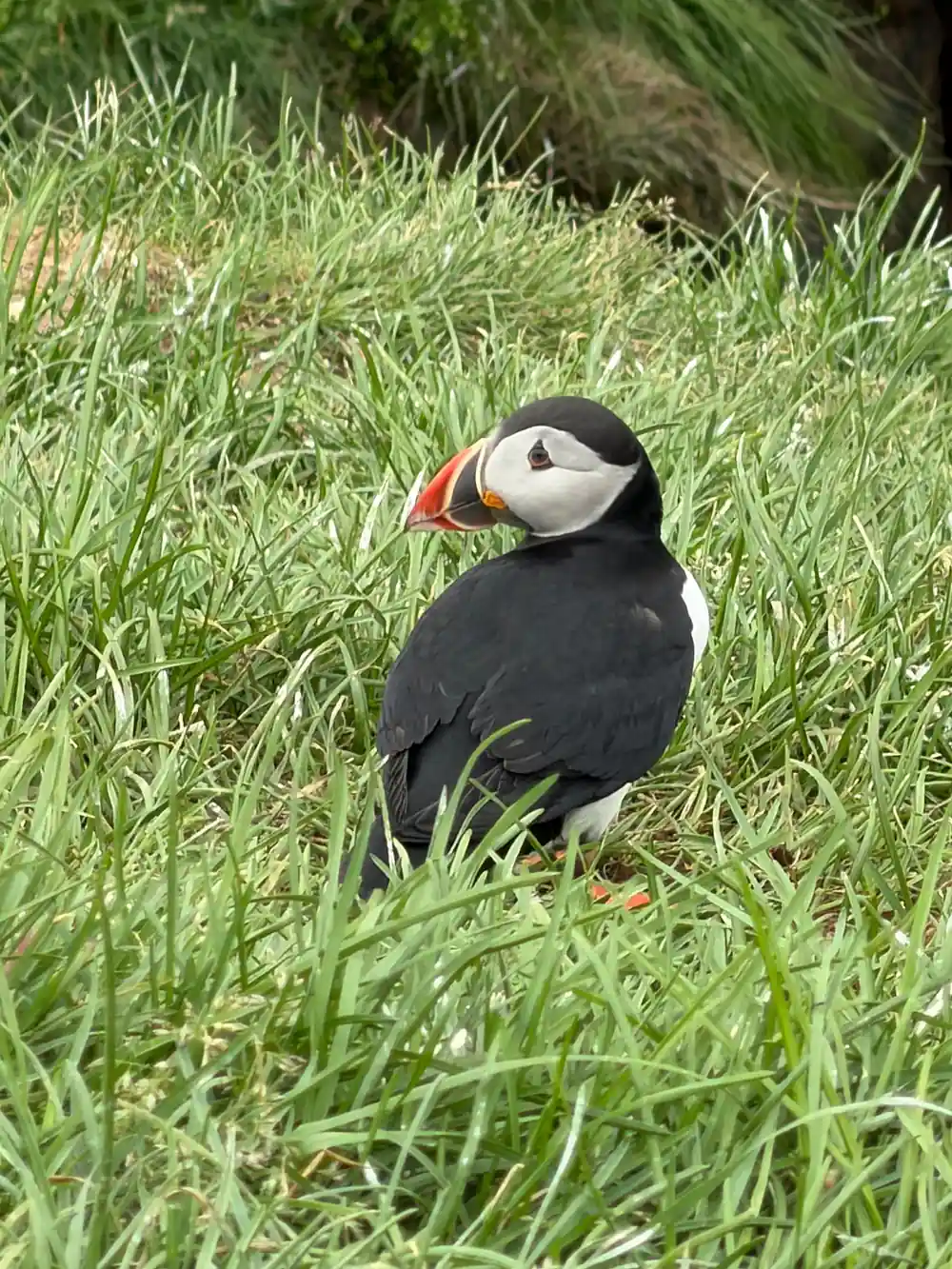
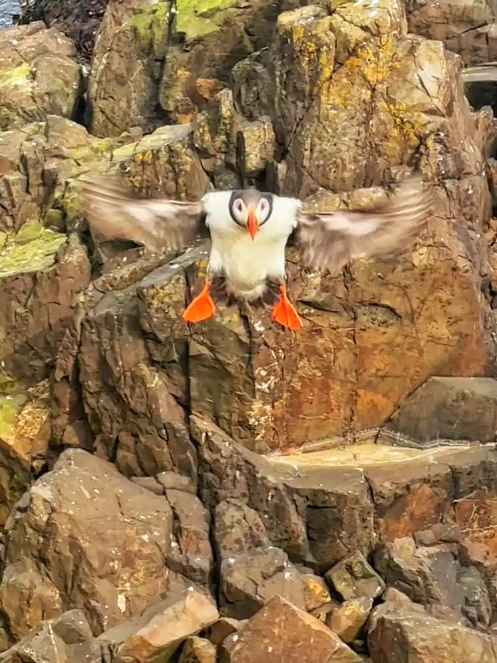
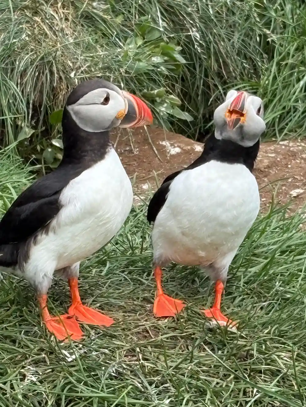
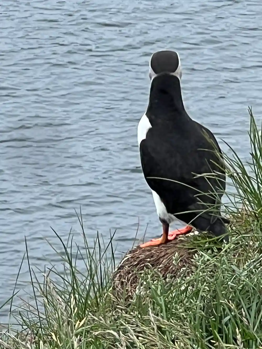
Wildlife is the other reason people come up this valley. Puffins nest at Hafnarhólmi in Borgarfjörður Eystri every year from the middle of April to the beginning of August.[3] The birds are small, fast and comically earnest, and they tolerate a reasonable distance from a path. Outside the nesting window the cliffs are still worth the drive for the sea, the light and the view back along the coast.
The tour itinerary and what to expect
The Puffin & Gufufoss Waterfall Tour from Seydisfjordur Port runs for 5 hours with a live tour guide in English.[4] Prices start from US$229, you can reserve now and pay later, and cancellation is free up to 24 hours in advance for a full refund.[4] The route goes by bus or coach from the port through the Northeastern Region of Iceland, then on to Hafnarholmi, Lindarbakki and Gufu Waterfall, with coach legs in between.[4] Check availability to see the starting times that match your port call.
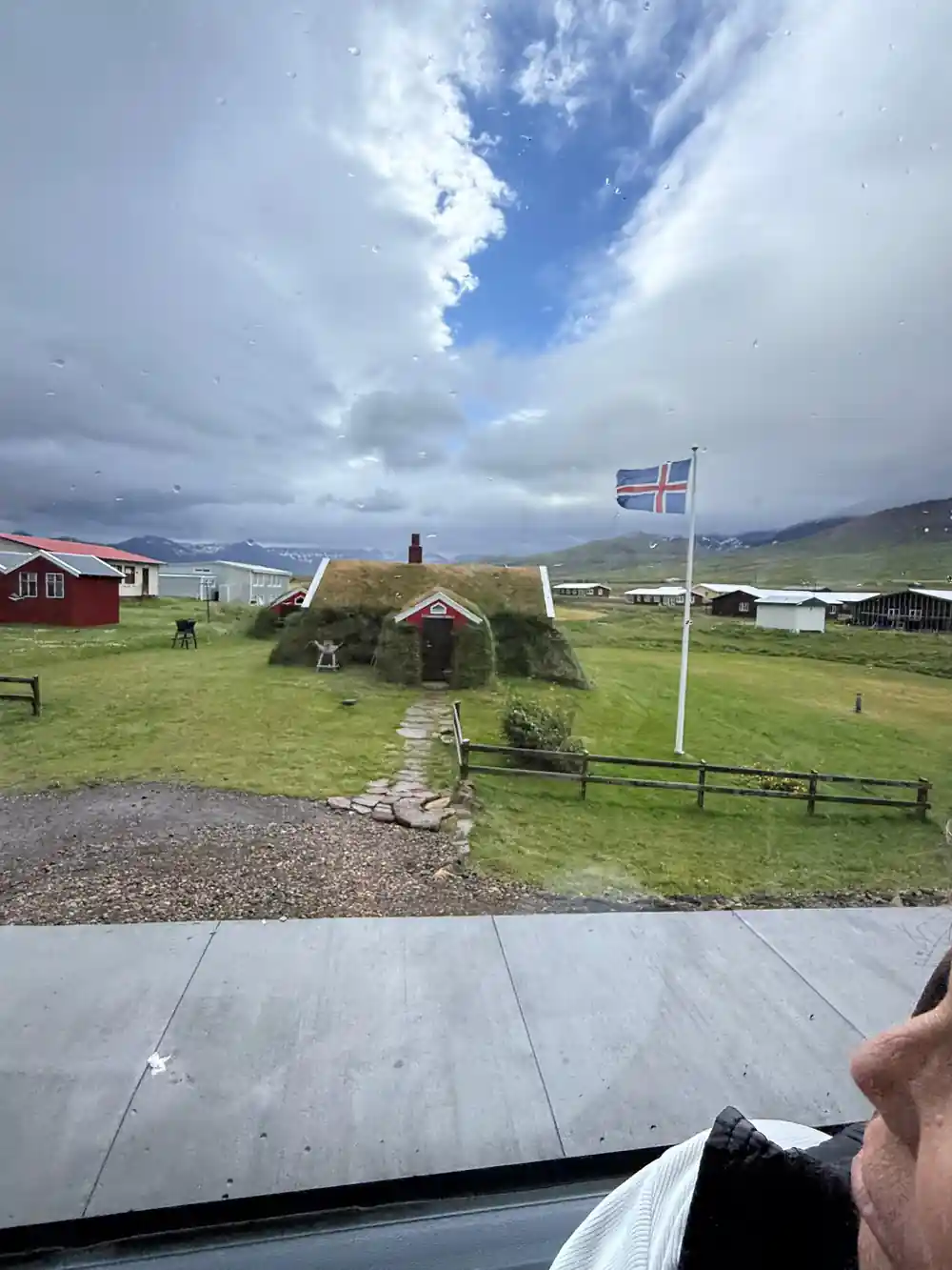
Expect a day of short stops rather than long hikes. The puffin cliffs are a walk and a viewpoint. Lindarbakki is a colorful turf house in the village of Bakkagerði[9], the kind of small, strange building that makes a photograph. Gufufoss is a short, flat stroll from the car park. Between stops there is the drive itself, which in East Iceland is rarely dull: bare moorland, sea in the distance, and farm buildings tucked under the hills. Keep an eye on the time, because coaches on a port day run to a schedule.
Planning your visit
Come dressed for weather rather than for a forecast. In July, a summer month in Seydisfjordur, the average daily temperature ranges from a high of 51°F (11°C) to a low of 43°F (6°C).[10] Add wind and spray near the falls and you will be glad of a waterproof shell, a warm mid-layer and shoes with some grip. Many visitors arrive by sea, since the Norrona ferry, run by Smyril Line, docks in the small town of Seydisfjordur[11], and the same waterfront is where the port tours begin.
If you have time either side of the tour, the town repays a wander: Rainbow Street climbs towards the Blue Church, and the harbour is a short walk from most of it. For travellers who want more than one valley, other tours from the same port add entry to the geothermal baths at Vök from US$61[6] and a Studlagil Canyon shore excursion from US$229[7]. Book the port tour first if puffins and the waterfall are your priority, then build the rest of your day around it.
How long tours from Seydisfjordur run
From-prices for tours that start at Seydisfjordur port
From-prices in US dollars as listed on GetYourGuide:[4][6][7][12][14]
When to go and what to book
Your day ashore
Meet at the port
The tour starts from Seydisfjordur port, so there is no need to find your own way into town first.
Coach through the Northeastern Region
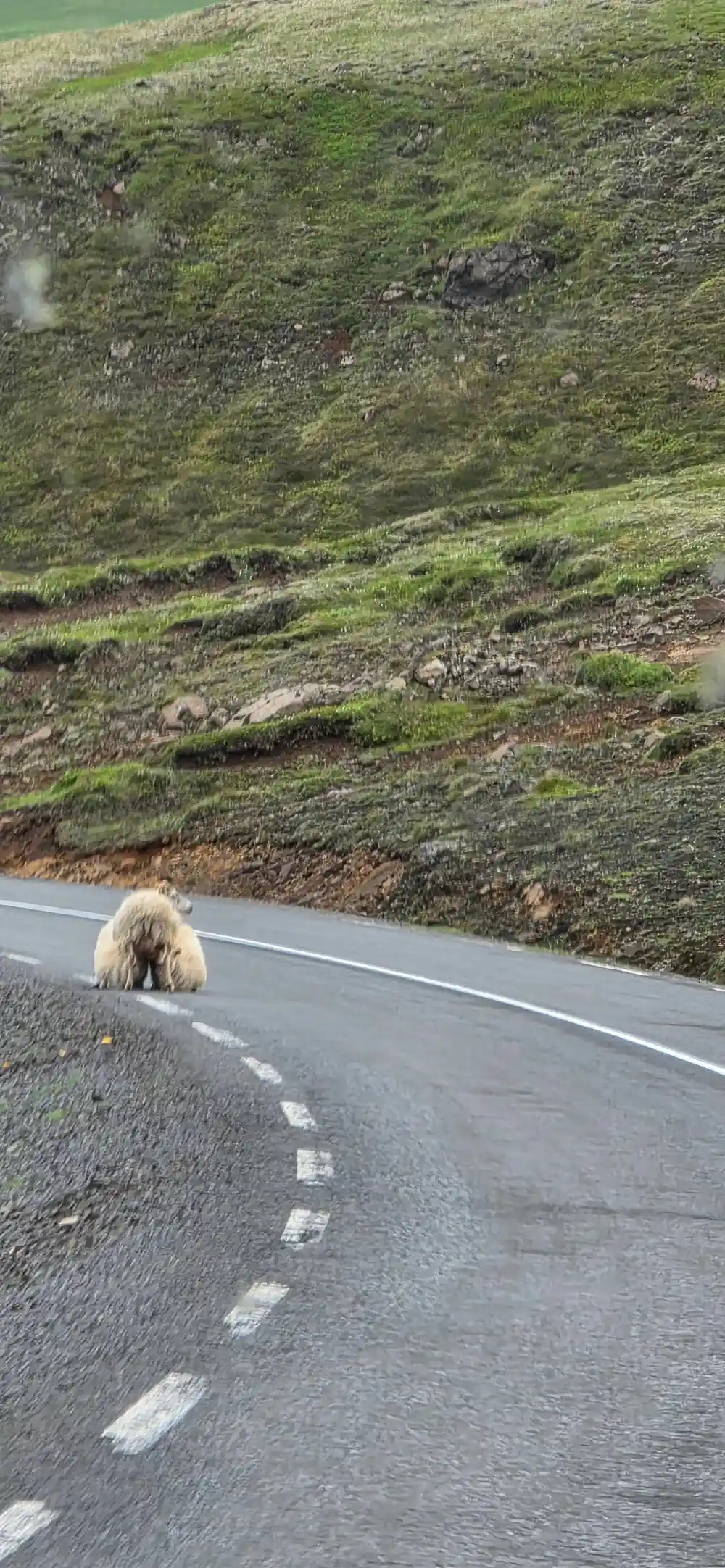
The drive out of town climbs away from the fjord and crosses open country before turning towards the coast.
Puffin cliffs at Hafnarholmi
A short walk from the coach brings you to the viewing area above the nesting ledges.
Lindarbakki turf house
A colorful turf house in the village of Bakkagerði[9] and one of the easiest photographs of the day.
Gufufoss waterfall
The last stop is the fall itself, a flat minute or two from the car park.[2]
Back before your ship sails
Coaches on shore days keep to a timetable, so check the meeting time with your guide before you wander.
Book the Puffin & Gufufoss Waterfall Tour from Seydisfjordur Port
from US$230Reserve now & pay later